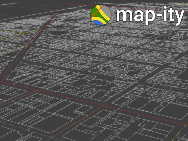
Map-ity allows you to use any real world locations by providing access to Open Street Map data.Use it to get a lists of roads, waterways and buildings to use in your scene! You can even break down the data into different classifications such as:- Motorway (primrary or secondary road)- Canal or riverFeatures:- Custom Inspector.- Works at Runtime or in Editor.- Supports Unity 2D.- Download the map data for your current location on mobile devices, or use a previously saved file.- Get lists of: Roads, waterways, buildings, relations ( e.g. Bus Routes )- Gets the height of locations using satelite topography- Render Gizmos showing the map in editor.- Event driven.Note:Does not support WebPlayer or WebGL.Downloading map data requires an internet connection.Querying height data requires a free GeoNames.org account.